
Braunton Burrows
,_Braunton_Burrows_--_2013_--_1837.jpg)
From the park
- Braunton Burrows
- about 4.1 milesabout 10 minutes by car · American Road side
- Saunton Sands car park
- about 4.5 milesabout 10 minutes by car · The northern end
Approximate road distances from the park's map pin, measured with OpenStreetMap routing on 3 October 2026. Rounded. Drive times vary, especially in summer. Drive times are OpenStreetMap routing estimates for clear roads, measured on 6 October 2026 and rounded. Allow longer in summer, at weekends and with stops.
What the Burrows are
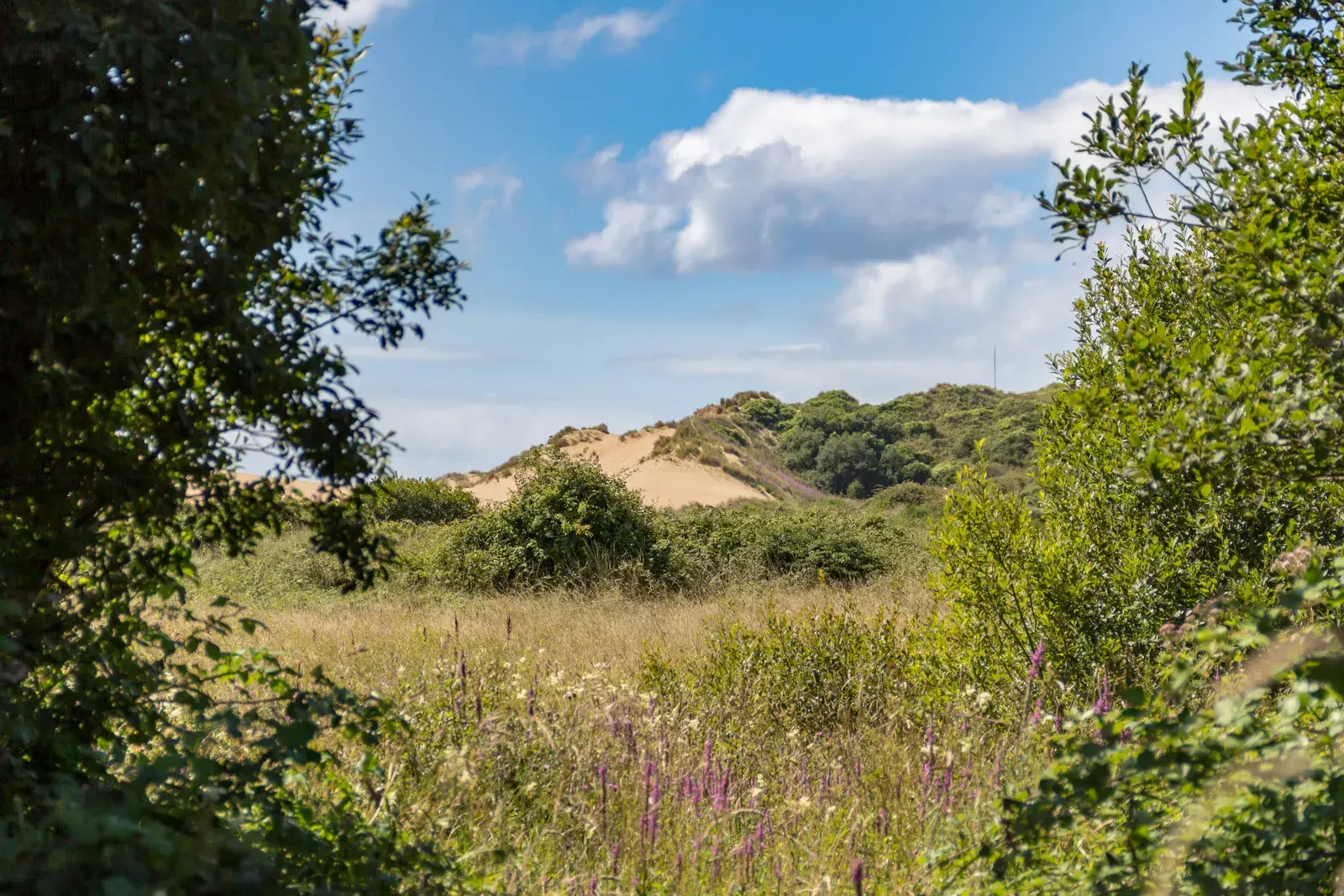
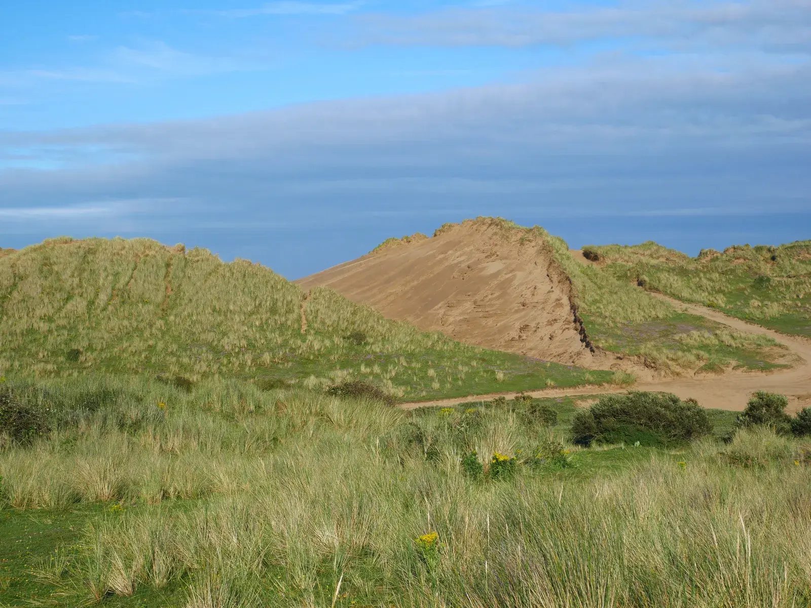
Braunton Burrows covers more than 1,300 hectares of dunes, grassland and wet hollows behind Saunton Sands. It is the largest sand-dune system in England and the second largest in the UK.
It runs from the Saunton end down to Crow Point at the mouth of the Taw estuary. Some of the dunes are high, and among them it feels a long way from anywhere.
The heart of North Devon's Biosphere
.jpg)
UNESCO first recognised Braunton Burrows as a biosphere reserve in 1976. In 2002 the reserve was widened to cover much of North Devon, with the Burrows as its core area. It was the first of the UK's new-style biosphere reserves.
A biosphere reserve is about looking after nature while people live, work and visit alongside it. The Burrows are its core area, the part where protecting nature comes first.
The Burrows are also a Site of Special Scientific Interest. More than 470 species of plants and over 60 species of lichen have been recorded there.
A wartime past
In 1943 American troops trained on the Burrows for the D-Day landings. The track along the back of the dunes is still called the American Road, and some of their concrete practice structures can still be seen.
The Ministry of Defence still uses the area for training and closes it on a few days a year, so check before a long walk.
Getting there from the park
The Burrows are about 4.1 miles from the park by road, roughly 10 minutes on a clear road. All three car parks are reached through Braunton: Saunton Sands car park on the B3231 towards Croyde, and Sandy Lane and Crow Point on the lanes south-west of the village.
Walking the Burrows
There are three main ways in, each with a car park: from Saunton Sands car park at the northern end, from Sandy Lane car park in the middle, and from Crow Point car park at the southern end.
Paths are mostly soft sand and there are few signposts, so it is easy to lose your bearings among the dunes. Keep the sea or the estuary in view, wear proper shoes and take water on a warm day. The flatter tracks at the back of the dunes are easier going.
The Braunton Countryside Centre in the village runs guided walks if you would like someone to show you round first.
Questions owners ask
Is it hard walking?
It can be. The paths through the dunes are soft sand and are not waymarked. The tracks at the back of the dunes, such as the American Road, are flatter. A guided walk from the Braunton Countryside Centre is a good first visit.
Is it ever closed?
Yes, on a few days a year, when the Ministry of Defence uses it for training. Check before you go.
More about the area
Come and stand on the plot
Photos only go so far. Walk the lane, step inside the lodges and ask Alex anything.
Pick a day
Choose up to three dates online, or call. Viewings are free.
Alex gets in touch
Alex calls or emails to fix a time, usually the same day.
Walk round
See the lodges and the plots, check the views and ask about every cost.